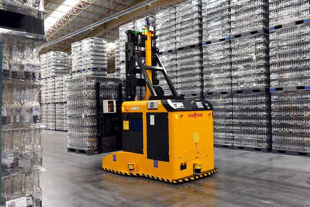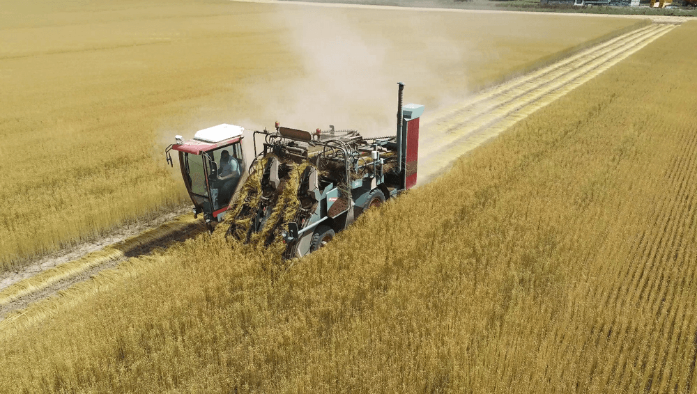


Vehicle tasks are becoming more and more complex for the driver, resulting in fatigue and the risk of a collision. Blaxtair smart systems help to automatically detect dangerous obstacles and prevent accidents.

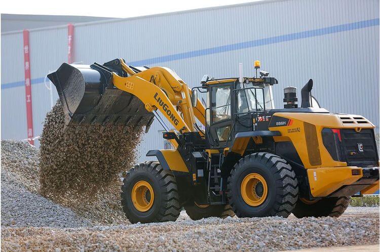
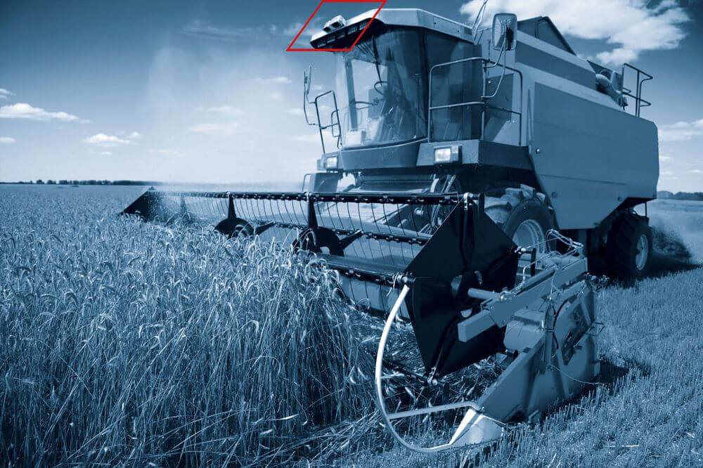
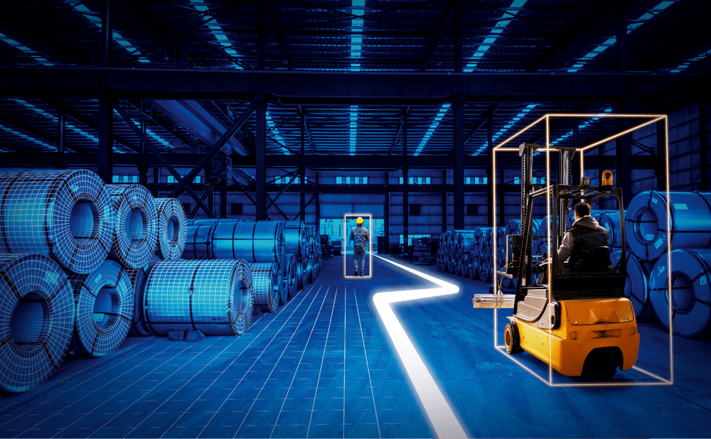
Vehicle tasks are becoming more and more complex for the driver, resulting in fatigue and the risk of a collision. Blaxtair smart systems help to automatically detect dangerous obstacles and prevent accidents.